CIT expand their banknote style coins to epic new sizes with a Waldseemuller map naming America
A relatively new concept in modern numismatics, ultra-thin banknote-style coins have grown in popularity since their debut last year. Usually 150 x 70 mm in size and weighing around five grams, the concept is a little older, but CIT took them into legal tender territory last year when they debuted the first of their Skyline Dollars. The New Zealand Mint have recently entered the market and MDM have also been present, so there’s certainly growing interest in the niche format.
The Beijing Coin Expo is this weekend and a few producers release new product for the ocassion, Coin Invest Trust amongst them. The first of their new products we’re looking at is an impressive expansion of the banknote format. At six times the size and weight, we’ve never seen the format taken to this size before and CIT have chosen a great subject for it.
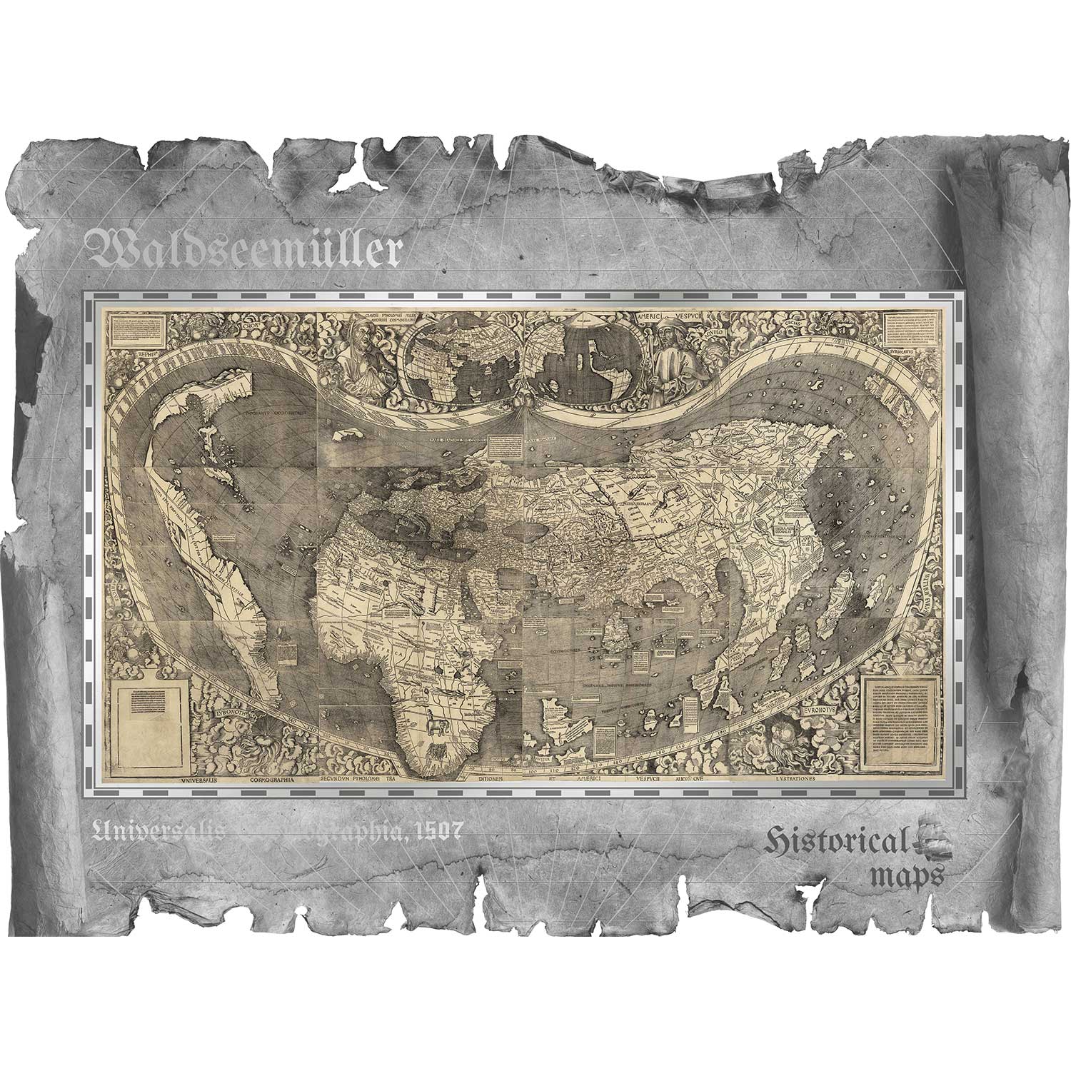
Cartography is a core part of the story of mans exploration of this planet. Early maps, usually completely inaccurate, inspired intrepid adventurers to go out on hugely dangerous voyages of discovery, many returning to expand the knowledge enough to produce better and more accurate maps for the next generation. One such map-maker was Martin Waldseemuller (1470-1520), whose 1507 map was the first time that America was named as such. This new coin, issued for the Cook Islands, reproduces it perfectly.
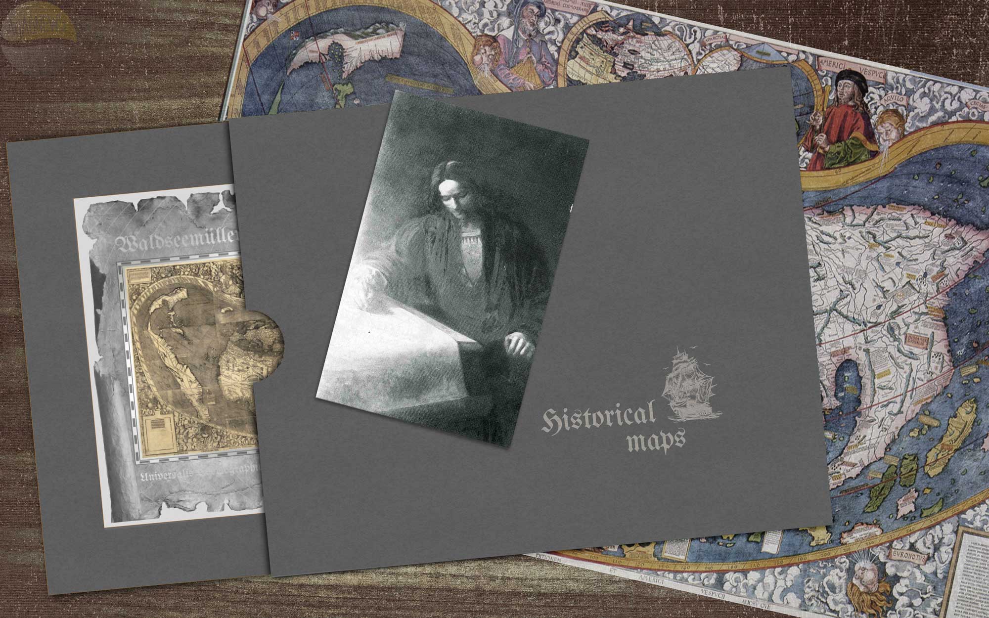
Very heavy for the format at 30 grams, the 200 x 150 mm dimensions are also pushing boundaries, with a surface area some 24 times that of a standard 40mm diameter coin. The map is done full justice in this format and we can’t imagine it being practical on a standard coin. The worn and torn edges are a great touch and the coin will be well protected, sealed as it is like the Skyline Dollars. Provided in a sleeve, we confess to liking the look of this one a lot, although how popular the format turns out to be is a matter for the future. Available to pre-order now, it should start to ship towards the end of February 2018.
2018 HISTORICAL MAPS: WALDSEEMULLER SILVER COIN
MARTIN WALDSEEMULLER
Martin Waldseemüller was a German cartographer who, along with Matthias Ringmann, was credited with the first recorded usage of the word America. On 25 April 1507 at a meeting of the Gymnasium Vosagense at Saint Diey in France, he produced a globular world map and a large 12-panel world wall map using the information from Columbus and Vespucci’s travels (Universalis Cosmographia), both bearing the first use of the name “America”.
The name America is placed on what is now called South America on the main map. As explained in Cosmographiae Introductio, the name was bestowed in honor of the Italian Amerigo Vespucci. The map is drafted on a modification of Ptolemy’s second projection, expanded to accommodate the Americas and the high latitudes. The wall map consists of twelve sections printed from woodcuts measuring 18 by 24.5 inches (46 cm × 62 cm). Each section is one of four horizontally and three vertically, when assembled.
In the seventh chapter of the Cosmographiæ Introduction, written by Matthias Ringmann, it is explained why the name America was proposed for the then New World, or the Fourth Part of the World: “But now these parts have been more widely explored, and also another fourth part has been discovered by Americus Vesputius (as will be heard in the following), and I do not see why anyone should justifiably forbid it to be called Amerige, as if “Americus’ Land”, or America, from its discoverer Americus, a man of perceptive character; since both Europa and Asia have received their names from women.”
The wall map was lost for a long time, but a copy was found in Schloss Wolfegg in southern Germany by Joseph Fischer in 1901. It is still the only copy known to survive, and it was purchased by the United States Library of Congress in May 2003. Five copies of the globular map survive in the form of “gores”: printed maps that were intended to be cut out and pasted onto a wooden globe. Only one of these lies in the Americas today, residing at the James Ford Bell Library University of Minnesota; three copies are in Germany (Bayerische Staatsbibliothek, LMU Munich, Stadtbibliothek Offenburg), and one is in London, UK, in private hands. (Source: Wikipedia)
SPECIFICATION
| NAME | 2017 HISTORICAL MAPS |
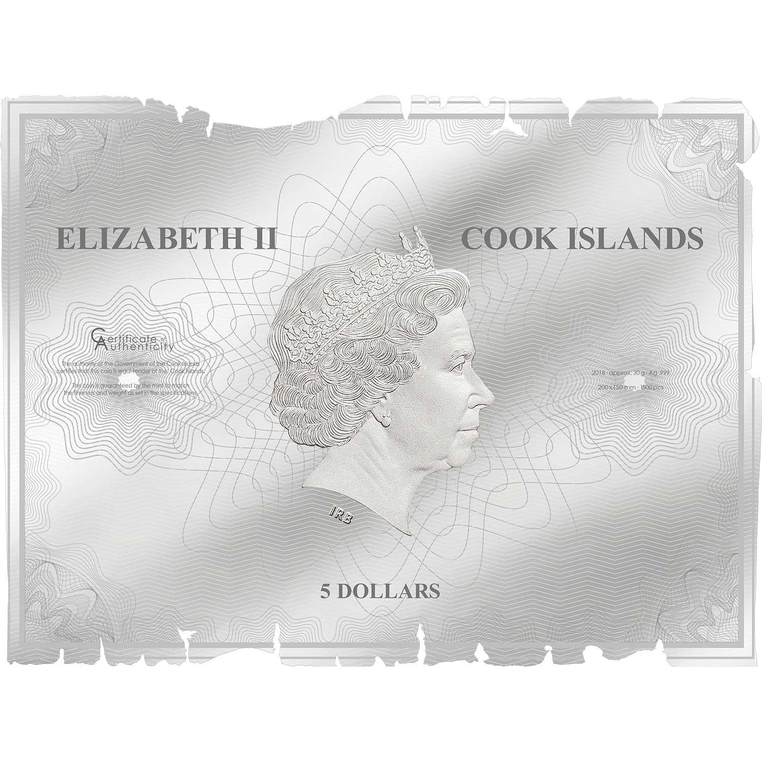
| DENOMINATION | $5 CID (Cook Islands) |
| COMPOSITION | 0.999 silver |
| WEIGHT | 30.0 grams |
| DIMENSIONS | 200.0 x 150.0 mm |
| FINISH | Prooflike |
| MODIFICATIONS | Colour |
| MINTAGE | 1,500 |
| BOX / COA | Sleeve / Yes |
Leave A Comment