MDM pushes silver coin diameters with a reproduction of the 1630 World Map by the Dutch cartographer, Henricus Hondius II
The art of cartography is everything that art should be. Endlessly fascinating, historically and scientifically important, maps are a rare glimpse into our past, holding extra beauty today in a world dominated by the brilliance of, but aesthetically boring world of Google Maps, and their ilk. While today’s real-time cartographic offerings are accurate, down to the tiniest degree (certainly enough to direct a missile through a window a continent away), it’s the mistakes of our past that are frozen in time on the old maps, a snapshot of where we were.
One of the most important places for the science, and indeed art, of cartography, were the Dutch cities of the late 16th, to the late 17th century. It was here that the golden age of exploration was distilled down to documents that could bring that wonder to those unfortunately not able to make those journeys, or perhaps fortunate, given what happened to so many of them – Captain Cook pie, anyone…
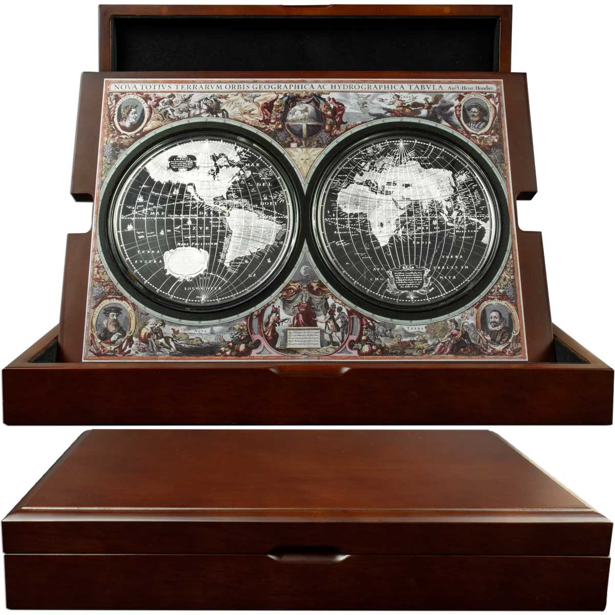
We’ve seen a few numismatics dipping their toe into the field, most notable for us being CIT’s ‘1507 Waldseemuller’, and Downie’s ‘Captain Cook Voyage’, both silver foils rather than traditional coins. What MDM have produced here is quite exemplary. Using a pair of five-ounce silver coins, and copious micro-engraving, they’ve reproduced both hemispheres of the original 1630 Hondius map. Better still, each coin has a diameter of 107.8 mm.
To enhance the package further, the coins sit in a wooden box with a display insert, also of wood, that is decorated with the same artwork surrounding the original 17th century woodcut. While we haven’t seen this set in hand, and we’d really like to, it looks to be quite the piece of art in its own right. We really like this one, no doubt buoyed by our admiration for the original cartographers, and the beauty of their work. MDM have done Henricus Hondius II proud with this one, but only 500 of you will get to own one. Top marks.


Nova Totius Terrarum Orbis Geographica ac Hydrographica Tabula
In the early 17th century, cartography was progressing in leaps and bounds, driven b y a new age of exploration by the biggest European empires of the age. It was the Dutch that earned particular renown for their work in the map-making field, especially the competing companies of Blaeu, and of Hondius. Nothing drives progress like a bit of rivalry, and the map used as inspiration for the coin is an example of that.
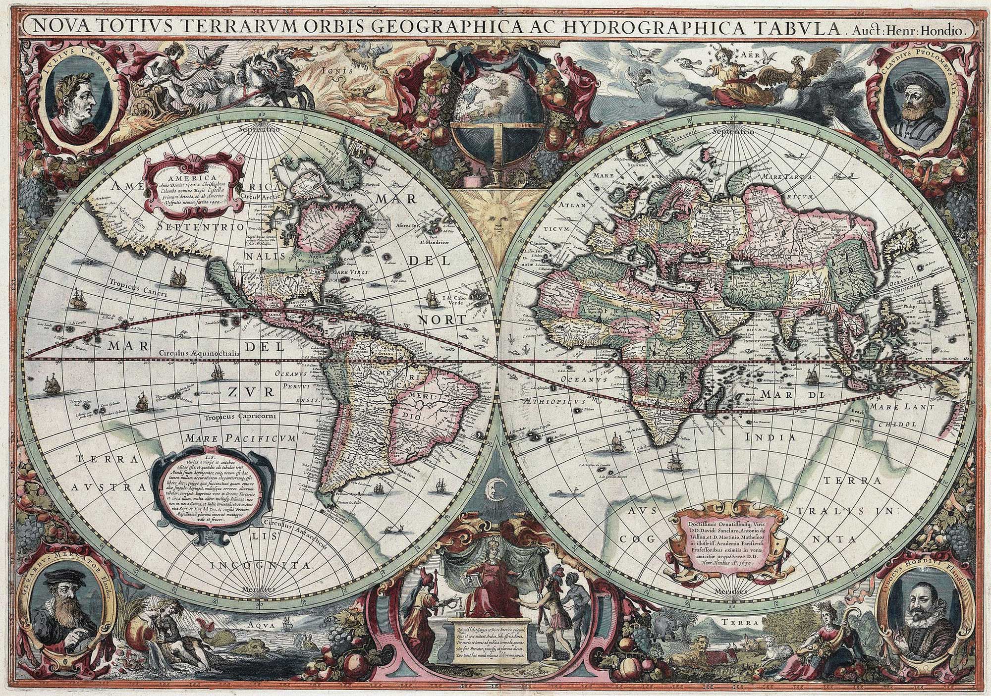
Produced in 1630 for a new atlas to rival Blaeu’s latest work in progress, Henricus Hondius partnered with cartographer Jan Janssonius to engrave a map using the latest information. By modern standards, it has some quite comical errors (California is an island, for example), but it was also one of the first to depict Australia, even if only the west coast of it.
The surrounding area of the map is richly decorated with portraits, elements, and even a globe. Pride of place at the bottom is the figure of Europa, depicted surrounded by representatives of continents (Africa, Asia, and the Americas) bringing gifts.
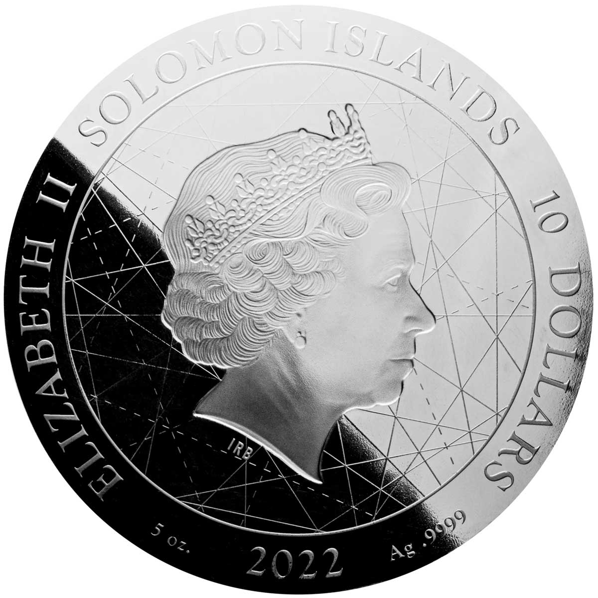
| SPECIFICATION | |
| DENOMINATION | $10 (Solomon Islands) x2 |
| COMPOSITION | 155.5 g of 0.999 silver x2 |
| DIMENSIONS | 107.8 mm |
| FINISH | Bullion (brilliant uncirculated?) |
| MODIFICATIONS | Micro-engraving |
| MINTAGE | 500 |
Leave A Comment